Boundary Plans Prepared With Care
GeoDrafts drafts boundary and property survey deliverables from the measurements, records, and instructions supplied by the responsible surveyor — presenting parcels, monumentation, and references exactly as provided.
Legend — Monuments
Each layer is a survey type — click one to open its page.
What This Service Covers
We draft parcel linework from supplied bearings, distances, and coordinates, place monument and corner symbols per your legend, prepare area and listing tables as instructed, and assemble the sheets so the drawing reads consistently with the records you provide.
GeoDrafts does not determine, certify, or verify legal boundaries. All boundary determinations and professional sign-off remain with the licensed surveyor responsible for the project.
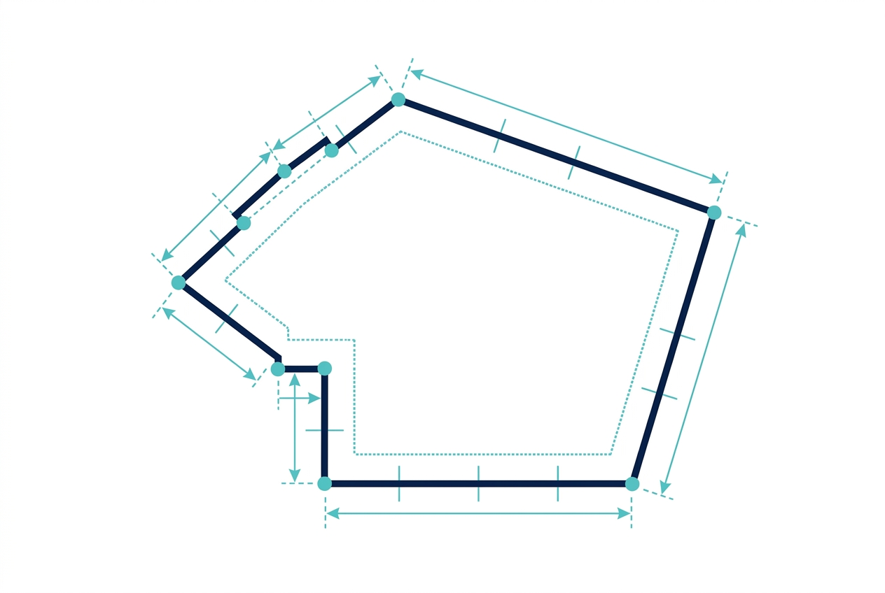
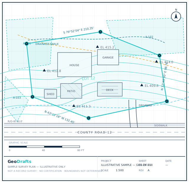

Boundary and Property Survey Drafting, Layer by Layer
This service's layer is highlighted on the plan. Click other layers to explore the related survey types we draft.
Legend — Monuments
Survey Type · Boundary
Boundary and Property Survey Drafting
Preparation of boundary and property survey drawing deliverables based on client-provided survey information, records, measurements, and applicable drafting instructions.
Click any layer on the plan — each one maps to a survey type we draft.
Typical Inputs
What we work from — all supplied by you.
- Bearing, distance, and coordinate data supplied by the client
- Deed descriptions and records provided for reference
- Monumentation notes and corner information
- Prior plats and survey drawings, where supplied
- Client symbology, tables, and sheet standards
Deliverables & Formats
What you receive at handover.
- Boundary plan drawings with parcel linework
- Corner and monument symbols per the client legend
- Area, bearing, and distance tables as instructed
- PDF plots and editable CAD files
Where This Work Fits
Title work support packages for surveying firms
Record plans and client report attachments
Property presentation sets for stakeholders
Consistent archiving of boundary documentation
How the Project Runs
Review supplied records
Measurements, coordinates, and reference records are checked.
Draft parcel linework
Parcels are drawn exactly from the supplied data.
Apply symbols and tables
Monuments, corners, and tables are placed per your legend.
Review against instructions
The drawing is checked line-by-line against the source data.
Deliver files
Final drawings are delivered in the agreed structure.
Boundary and Property Survey Drafting — Questions
Continue Exploring
Ready to Start Boundary and Property Survey Drafting?
Share your project inputs and receive a scoped proposal.
Request a Quote