Linear Projects, Drawn Station by Station
GeoDrafts prepares alignment drawings, strip maps, and right-of-way exhibits from the stationing and parcel data you supply — linear documentation organized for roads, pipelines, and corridors.
Legend — Monuments
Each layer is a survey type — click one to open its page.
What This Service Covers
We draft alignments from supplied stationing data, produce strip maps across the corridor, prepare ROW and take exhibits per your direction, and organize parcel tables and annotation so long linear projects stay consistent.
GeoDrafts provides drafting production only. Right-of-way determination and professional sign-off remain with the responsible licensed surveyor.

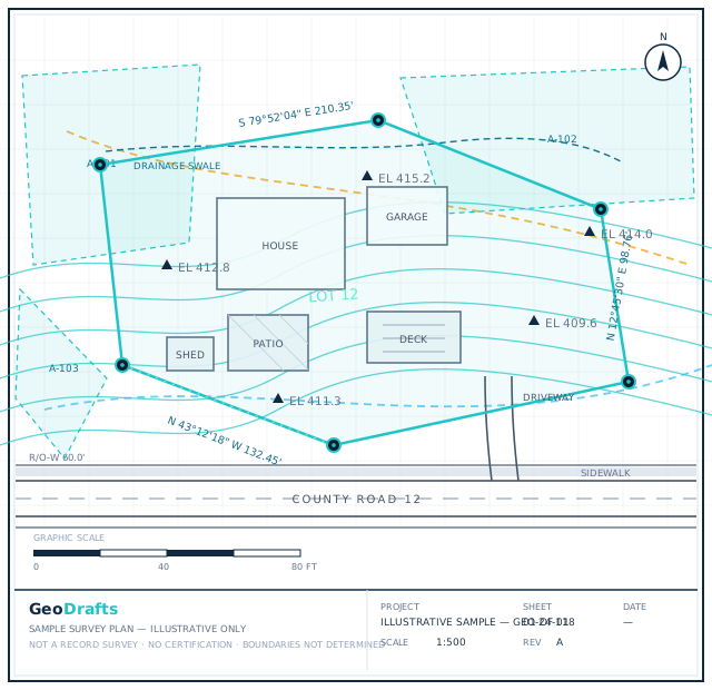

Route and Right-of-Way Survey Drafting, Layer by Layer
This service's layer is highlighted on the plan. Click other layers to explore the related survey types we draft.
Legend — Monuments
Survey Type · Road & ROW
Route and Right-of-Way Survey Drafting
Alignment drawings, strip maps, and right-of-way exhibits for roads, pipelines, and corridors, prepared from supplied stationing and parcel data.
Click any layer on the plan — each one maps to a survey type we draft.
Typical Inputs
What we work from — all supplied by you.
- Alignment and stationing data supplied by the client
- Parcel and ownership information provided for reference
- Cross-section or profile data, where supplied
- Client standards for sheets, symbols, and tables
Deliverables & Formats
What you receive at handover.
- Alignment sheets and strip maps
- Right-of-way and take exhibits as directed
- Parcel tables and annotation as instructed
- PDF plots and editable CAD files
Where This Work Fits
Roadway and pipeline project documentation
Acquisition support packages prepared by the surveyor
Corridor mapping and reference drawings
Consistent multi-sheet linear sets
How the Project Runs
Review stationing
Alignment and parcel data are organized by station.
Draft alignments
Corridor linework is drawn to the agreed scope.
Prepare exhibits
ROW and take exhibits are produced per direction.
Check
Sheets are reviewed for consistency across the corridor.
Deliver
Indexed sets are handed over in the agreed formats.
Route and Right-of-Way Survey Drafting — Questions
Continue Exploring
Ready to Start Route and Right-of-Way Survey Drafting?
Share your project inputs and receive a scoped proposal.
Request a Quote