Field Data, Processed and Ready to Draft
GeoDrafts provides survey data processing services that turn raw field output into organized, drafting-ready structures — point files normalized, coordinate lists checked against supplied control, and coding mapped to your office standards.
Legend — Monuments
Each layer is a survey type — click one to open its page.
What This Service Covers
We clean and normalize point files (CSV, TXT, PNEZD-style lists), check coordinate listings against the control information you supply, convert data between common total station and GNSS formats, map field codes to your layer structure, and prepare organized base files that drafting can start from immediately.
GeoDrafts provides data preparation only. Survey computation, adjustment, and certification remain with the licensed professionals responsible for the project.

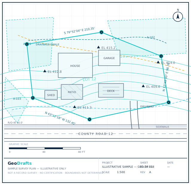

Survey Data Processing, Layer by Layer
This service's layer is highlighted on the plan. Click other layers to explore the related survey types we draft.
Legend — Monuments
Survey Type · Spot Levels
FEMA Elevation Certificate Drafting
Supporting diagrams and drafted documentation for elevation certificates, prepared from your field data for review by the licensed surveyor.
Click any layer on the plan — each one maps to a survey type we draft.
Typical Inputs
What we work from — all supplied by you.
- Raw point files from total station or GNSS crews
- Field books, sketches, and coding notes
- Control and coordinate reference information
- Your coding standards and layer mapping
- Target formats and folder structure
Deliverables & Formats
What you receive at handover.
- Normalized, consistently coded point files
- Organized coordinate listings
- Exception reports flagging gaps or conflicts
- Drafting-ready base files in your structure
Where This Work Fits
Overflow processing during busy field seasons
Legacy survey data normalization
Pre-drafting quality checks
Office data standardization programs
How the Project Runs
Review the data
Files, formats, and control references are checked on arrival.
Normalize
Point codes, coordinates, and structure are aligned to your standards.
Check
Listings are verified against supplied control and field notes.
Flag exceptions
Gaps and conflicts are reported in writing for your direction.
Deliver
Clean, organized data is handed over ready for drafting.
Survey Data Processing — Questions
Continue Exploring
Ready to Start Survey Data Processing?
Share your project inputs and receive a scoped proposal.
Request a Quote