Built Around Surveying and Geospatial Workflows
Four client types we support with drafting and mapping production — always alongside the licensed professionals responsible for each project.

Land Surveying Companies
Supplementary drafting production for surveying firms — drawings prepared from your field data, to your standards, during busy seasons and beyond.
Busy seasons, deadline pressure, and multi-site projects all create drafting bottlenecks. GeoDrafts works as supplementary production capacity — drawings prepared from your field data, to your templates, so your licensed professionals stay focused on fieldwork and review.

Civil and Land Development Consultants
Base plans, topographic drafting, and existing-conditions drawings prepared from supplied data to support design and documentation workflows.
Design and development projects need reliable base plans and existing-conditions documentation. We prepare topographic and site drawings from supplied survey data, keeping linework, layers, and presentation consistent across a project set.
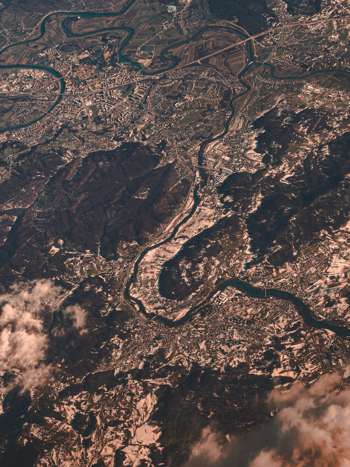
GIS and Geospatial Teams
Data conversion, digitization, layer organization, and map production that keeps spatial datasets structured and ready for use.
GIS teams often face a backlog of conversion, digitization, and map production work. GeoDrafts handles CAD-to-GIS migration, digitization from supplied sources, attribute structuring, and cartographic outputs according to your data schema.
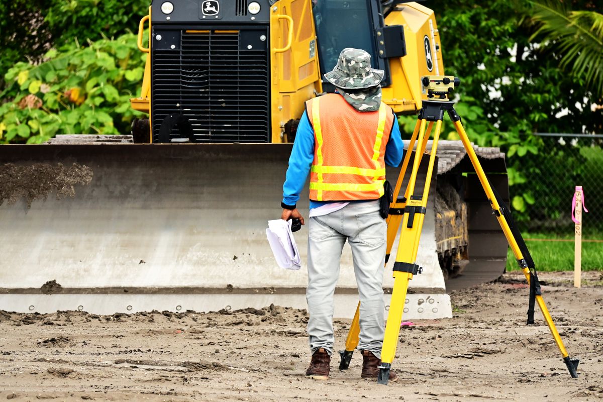
Engineering and Infrastructure Consultants
Organized site documentation and spatial deliverables prepared from supplied measurements and records for project teams.
Infrastructure and engineering projects generate a steady flow of documentation needs. We support consultants with organized deliverables prepared from supplied measurements and records — formatted for project handover and archiving.
Every Sector That Needs Land Surveying
GeoDrafts supports US-based surveying and engineering teams remotely — production is delivered online, so geography is never a constraint. These sectors rely on the survey types we draft every day.
Residential Development
Lot surveys, plats, and mortgage locations
Commercial Real Estate & Title
ALTA/NSPS sheets and title support drawings
Land Surveying Firms
Overflow production for every survey type
Construction & Infrastructure
Staking sheets, as-builts, and progress documentation
Utilities & Energy
Utility mapping, corridors, and as-built records
Renewable Energy
Solar and wind site base mapping from supplied data
Transportation & Public Works
Route, ROW, and corridor drawing sets
Municipal & Government
Parcel mapping and public works documentation
Mining & Aggregates
Pit, stockpile, and progress drawings
Agriculture & Land Management
Parcel plans and land-base mapping
Environmental & Conservation
Feature and terrain mapping deliverables
Telecommunications
Site and route documentation for networks
GeoDrafts provides drafting and GIS production support. It does not replace the professional responsibility of licensed surveyors or engineers, and does not perform field surveying, boundary determination, or professional certification.
Tell Us About Your Workload
Describe your drafting or GIS requirements — we'll review the scope and discuss how we can support your team.