Survey CAD Drafting Built on Your Standards
GeoDrafts turns supplied survey data — coordinate files, field sketches, point lists, and project instructions — into structured, layer-organized CAD drawings that are ready for review, issue, and client handover.
Legend — Monuments
Each layer is a survey type — click one to open its page.
What This Service Covers
We prepare base sheets, import and organize supplied points, draft plan features, apply your layer structure and naming conventions, complete annotation and title blocks, and assemble sheet sets for review. Every drawing is prepared against a defined checklist so the output matches the instructions agreed at the start of the project.
GeoDrafts provides drafting production only. Final review, approval, and professional certification remain with the licensed surveyor responsible for the project.
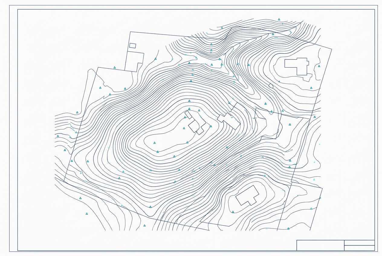
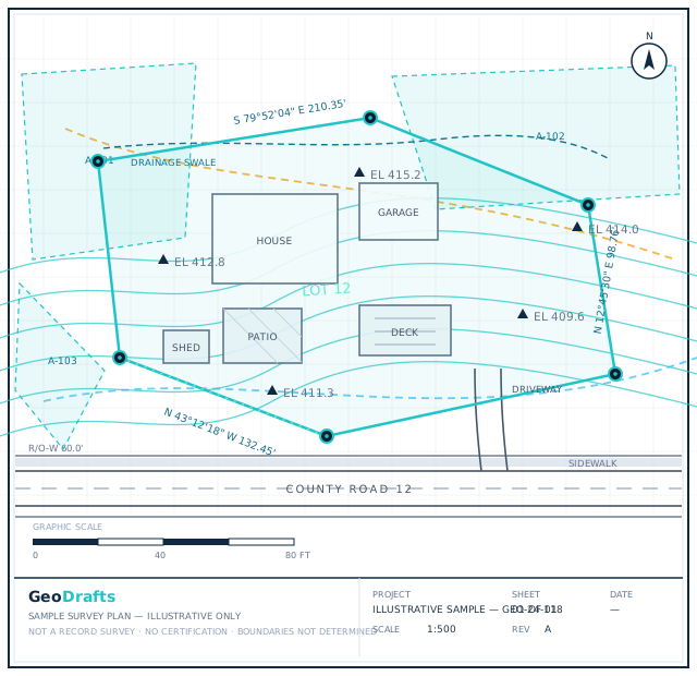

Land Survey CAD Drafting, Layer by Layer
This service's layer is highlighted on the plan. Click other layers to explore the related survey types we draft.
Legend — Monuments
Survey Type · Boundary
Boundary and Property Survey Drafting
Preparation of boundary and property survey drawing deliverables based on client-provided survey information, records, measurements, and applicable drafting instructions.
Click any layer on the plan — each one maps to a survey type we draft.
Typical Inputs
What we work from — all supplied by you.
- Coordinate and point files (CSV, TXT, PNEZD-style lists)
- Field sketches, measurement notes, and PDF markups
- Existing DWG/DXF drawings and reference material
- Client CAD templates, layer standards, and plot styles
- Written project instructions and drafting standards
Deliverables & Formats
What you receive at handover.
- Layer-organized plan drawings
- Sheet sets with title blocks and legends
- Annotation, dimensions, and callouts as instructed
- PDF plots alongside editable CAD files
Where This Work Fits
Project documentation and record drawings
Client and contractor communication sets
Permit submission packages prepared by the client
Archiving consistent with your file structure
How the Project Runs
Review inputs
Points, sketches, and instructions are checked for completeness.
Set up template
Your template, layers, and styles are applied before drafting starts.
Draft and annotate
Plan features, linework, and annotation are completed to scope.
Quality review
Drawings are checked against the project checklist.
Deliver files
Final files are handed over in the agreed folder structure.
Land Survey CAD Drafting — Questions
Continue Exploring
Ready to Start Land Survey CAD Drafting?
Share your project inputs and receive a scoped proposal.
Request a Quote