CAD-to-GIS Conversion Without the Cleanup Headache
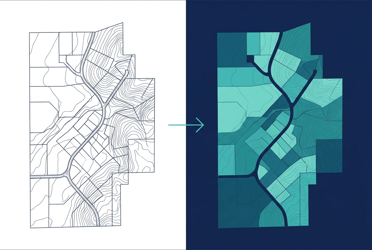
GeoDrafts converts supplied CAD drawings, maps, and scans into structured GIS datasets — and moves GIS data back into CAD deliverables — with geometry cleanup and attribute organization handled throughout.
Legend — Monuments
Each layer is a survey type — click one to open its page.
What This Service Covers
We convert CAD linework into structured GIS features, digitize from supplied maps and imagery, clean and organize geometry, structure attributes into usable fields, and manage coordinate system and projection handling according to the specifications you provide.

GIS Data Conversion and Digitization, Layer by Layer
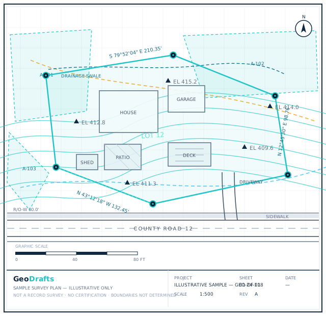
This service's layer is highlighted on the plan. Click other layers to explore the related survey types we draft.
Legend — Monuments
Survey Type · Parcels (GIS)
GIS Mapping and Spatial Data
Creation and organization of GIS layers, spatial datasets, feature attributes, map layouts, and geospatial deliverables according to client specifications.
Click any layer on the plan — each one maps to a survey type we draft.
Typical Inputs
What we work from — all supplied by you.
- CAD drawings (DWG/DXF) with or without attributes
- Scanned maps, PDFs, and imagery for digitization
- Existing GIS datasets for cleanup or conversion
- Coordinate system and projection specifications
- Target schema, layer naming, and attribute requirements
Deliverables & Formats
What you receive at handover.
- Structured GIS datasets from CAD or scanned sources
- Cleaned geometry with organized attributes
- CAD exports from GIS data as required
- Conversion notes documenting assumptions
Where This Work Fits
Migrating drawing records into GIS workflows
Digitizing legacy paper and PDF maps
Sharing spatial data across CAD and GIS teams
Preparing datasets for mapping platforms
How the Project Runs
Inspect sources
CAD files, scans, and target specs are reviewed together.
Define the schema
Layer structure, fields, and CRS are confirmed with you.
Convert and clean
Geometry is converted, cleaned, and attributed.
Verify output
Converted datasets are checked against the target schema.
Deliver datasets
Files are handed over with conversion notes.
GIS Data Conversion and Digitization — Questions
Continue Exploring
Ready to Start GIS Data Conversion and Digitization?
Share your project inputs and receive a scoped proposal.
Request a Quote