Turn Spatial Data into Useful Information
GeoDrafts organizes geospatial information into practical datasets and clear visual deliverables — structured layers, consistent attributes, and cartographic layouts prepared to your specifications.
Legend — Monuments
Each layer is a survey type — click one to open its page.
What This Service Covers
We create and organize GIS layers from your source data, structure feature attributes into usable fields, produce thematic and reference map layouts, and handle coordinate systems and projections according to the specifications you supply.


GIS Mapping and Spatial Data, Layer by Layer
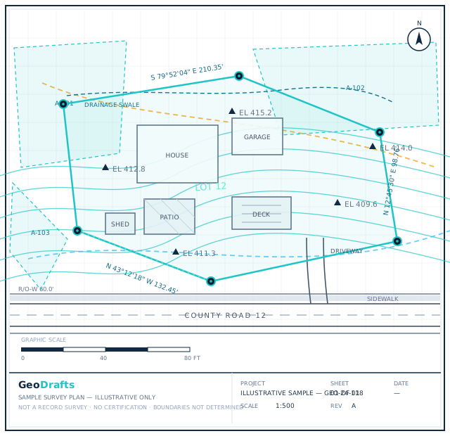
This service's layer is highlighted on the plan. Click other layers to explore the related survey types we draft.
Legend — Monuments
Survey Type · Parcels (GIS)
GIS Mapping and Spatial Data
Creation and organization of GIS layers, spatial datasets, feature attributes, map layouts, and geospatial deliverables according to client specifications.
Click any layer on the plan — each one maps to a survey type we draft.
Typical Inputs
What we work from — all supplied by you.
- Shapefiles, GeoPackage, GeoJSON, KML/KMZ, and CSV data
- CAD drawings for spatial reference, where supplied
- Spreadsheets and attribute tables to be joined
- Imagery or basemaps provided by the client
- Written specifications for layers, attributes, and CRS
Deliverables & Formats
What you receive at handover.
- Organized GIS layers with structured attributes
- Thematic and reference map layouts
- Feature editing and layer organization
- Data dictionaries describing delivered datasets
Where This Work Fits
Planning and asset presentation maps
Parcel and land-base mapping from supplied records
Thematic maps for reports and stakeholders
Spatial datasets prepared for team workflows
How the Project Runs
Review source data
Supplied datasets, attributes, and specifications are inspected.
Structure the layers
Features and attributes are organized to the agreed schema.
Produce map layouts
Cartographic outputs are styled per your direction.
Verify against specs
Layers, attributes, and CRS are checked to the specification.
Deliver datasets
Files are delivered with an organized, documented structure.
GIS Mapping and Spatial Data — Questions
Continue Exploring
Ready to Start GIS Mapping and Spatial Data?
Share your project inputs and receive a scoped proposal.
Request a Quote